After our extended stay at Kirtland AFB in Albuquerque for over three months, Deb and I were chomping at the bit to get back on the road. Our plans to see more of New Mexico were put on hold as the COVID pandemic still had many state parks and ACOE (Army Corps of Engineer) campgrounds closed. Many of the interest points were not open, either.
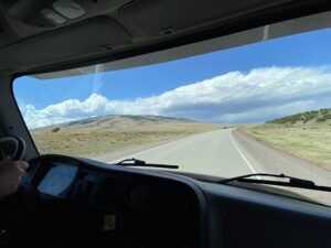
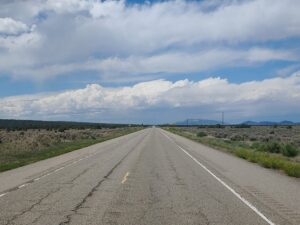
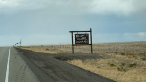
Our 2020 adventure had finally begun, and we were off to Colorado. The first leg of this year’s journey was Alamosa, CO. A familiar route up I-25 N to Santa Fe, a short trek up US Hwy 84 then US Hwy 285 would take us through Ojo Caliente, Tres Piedras, Antonito – which has one of the rail stations for the Cumbres & Toltec Scenic Railroad. The other is in Chama, New Mexico. This train ride is still on our bucket list. Maybe in the fall one day when the cottonwoods display their fall colors. Our first official unceremonious stop was at a Wal-Mart Super Center, but it felt awesome to be out on the open road.

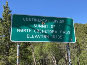
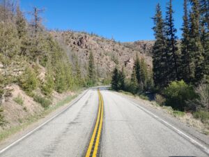
The trip to Montrose & Olathe area was highlighted by some beautiful back roads. 285 took us to Saguache where headed west on Colorado State Road 114 past Trickle MT, Buffalo Pass Campground, Razor Creek Dome and followed the Cochetopa Creek through valleys and canyons all the way to US Hwy 50 east of Gunnison.
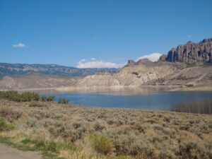
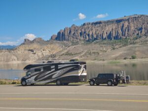
We continued west on 50 which now paralleled the Gunnison River which had several future waterfront camping opportunities, the Curecanti National Recreation Area looked pretty inviting.
Part of our decision to visit this area was because of COVID constraints in and around the Moab area. Utah leadership discouraged tourism here because of the potential burdening of medical facilities with “outsiders” thus not being able to tend to the needs of the local population. We found the Colorado southwest surprisingly beautiful and gave us some future ideas on an extended stay around Grand Junction to further explore.
We stayed at the Uncompahgre River RV Park, its central location in Olathe, just north of Montrose would allow us roadtrips in three directions –
- East to Gunnison Black Canyon National Park,
- South to Ouray to see the Box Canyon Falls
- North (last but not least), to see the Colorado National Monument.
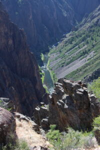
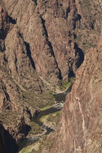
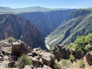
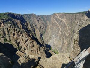
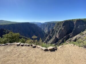
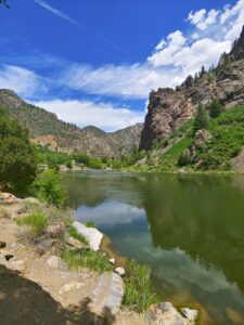
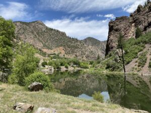
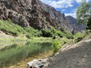
Deb and I knew there would be COVID restrictions and constraints in the National Parks. For our visit to Gunnison Black Canyon, we were pleased that the scenic drive was open, unfortunately, the Visitor Center was closed and only a few pit toilets were open at the observation points and trail heads. Black Canyon has three distinct areas to visit, the North Rim, the South Rim, and the East Portal on the Canyon Floor. Since the North Rim was on the other side of the river canyon, we chose to save that adventure for another visit.
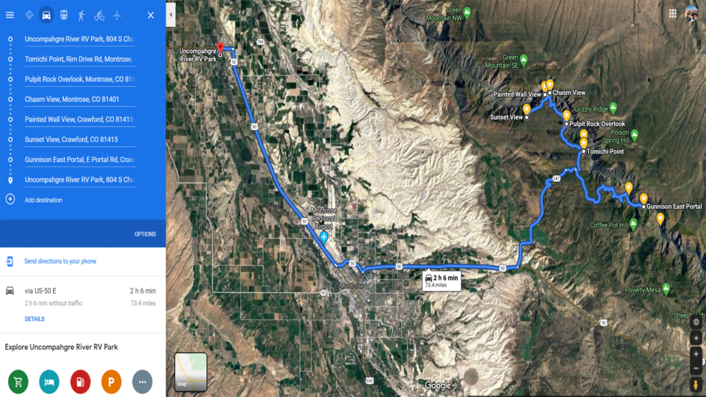
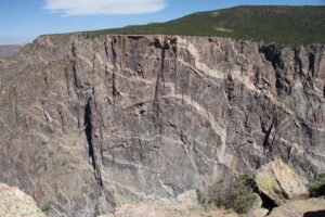
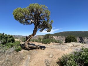
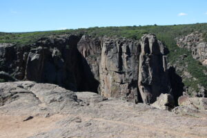
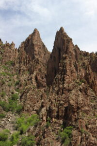
The South Rim Drive is 7 miles from Tomichi Point to High Point and it has designated 12 overlooks, with ample parking and many accessible by short walking trails. Since this was an in & out drive we chose to stop at the least populated points of interest in an effort to keep a safe distance from others. The park contains 12 miles of the 48-mile long Black Canyon of the Gunnison River. The national park itself contains the deepest and most dramatic section of the canyon. We stopped at Sunset Point, Cedar Point, Painted Wall View, The Painted Wall is the highest cliff in Colorado, from river to rim it stands 2250 feet, Big Island Overview, Pulpit Rock Overlook and Tomichi Point.
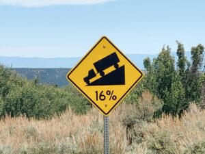
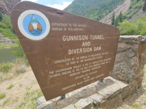
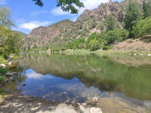
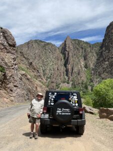
East Portal Road provided an opportunity to reach the river canyon floor. The road had 16% grades with hairpin curves. Vehicles greater than 22 feet are prohibited, so it was a good thing we did not bring the Black Pearl on this adventure down the canyon to the Gunnison River. This road also provides access into Curecanti National Recreation Area where camping, picnicking, and fishing are available. The significance of the East Portal was to drill the 5.8-mile Gunnison Tunnel to bring the water of the Gunnison River from the canyon floor to the Uncompahgre Valley. More historical information is available at East Portal / Gunnison Tunnel.
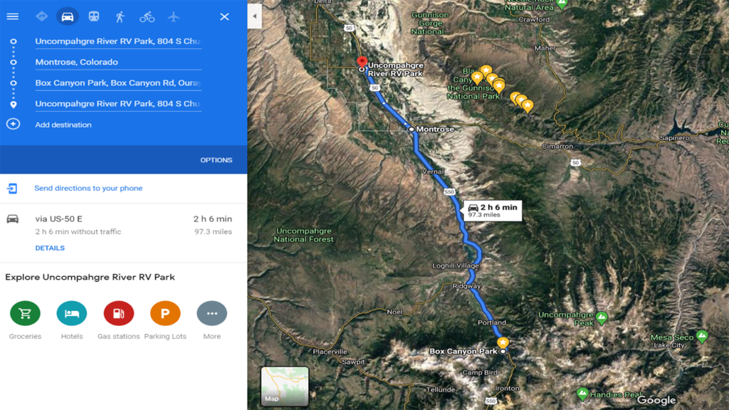
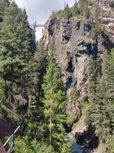
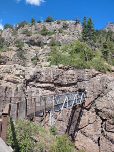
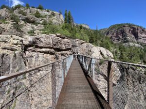
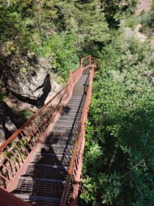
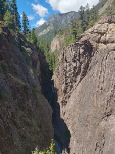
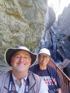
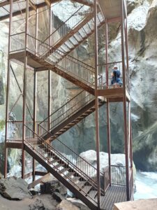
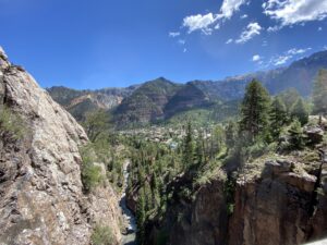
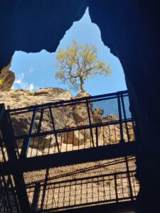
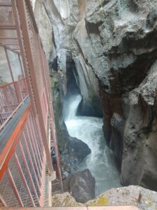
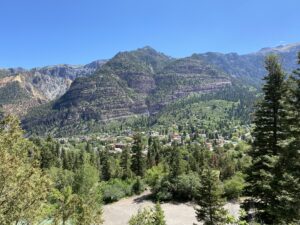
Our next mini adventure was a drive down to Ouray to check out the area and specifically see the Box Canyon Falls, Ouray’s own wonder of the world, is the culmination of Canyon Creek narrowing and spilling thousands of gallons a minute of water over the falls. At this most spectacular geological formation, the 285-foot waterfall plummets into a narrow quartzite canyon. The narrow rock walls tower over the falls by nearly 100 feet! The cat walk trail into the canyon and falls was quite spectacular. You could see the hi water marks where spring thaw waters gushed through this narrow canyon. Ouray is on the western end of the Million Dollar Highway, US Hwy 550 is a mountainous 25-mile highway that is part of the San Juan Scenic Byway. There are also abundant off-road opportunities in the Ouray area that would test my abilities to navigate on many narrow, steep roads. I am confident we will be back to challenge a few of them.
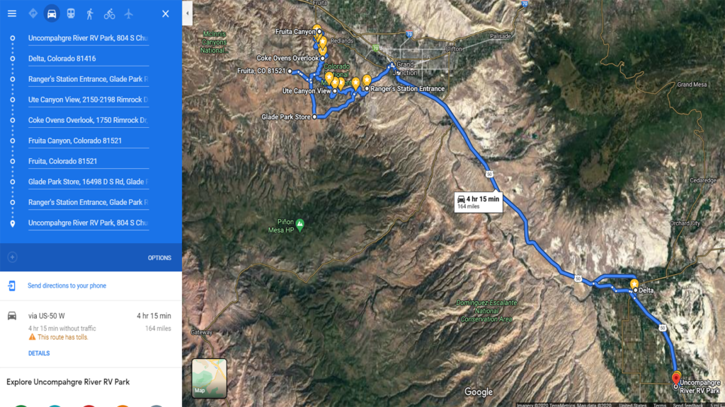
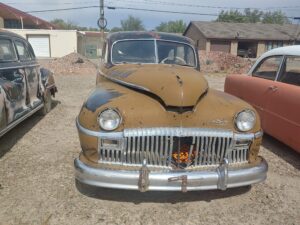
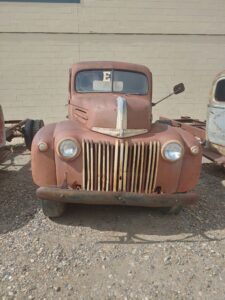
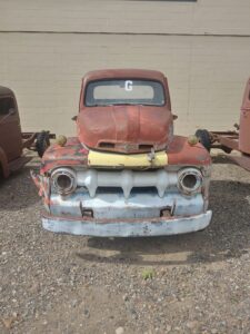
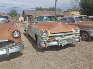
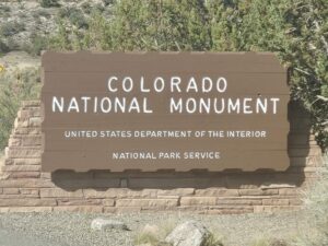
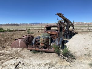
The final leg of our Southwest Colorado journey was the Colorado National Monument, located west of Grand Junction, it was a short drive up US Hwy 50 from the RV park in Olathe. We arrived at the southern entrance after a brief stop in Delta where we came upon a relic auto collection that we could not pass up. We actually stopped twice to capture both morning and afternoon light on these old classics.
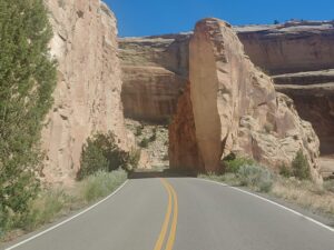
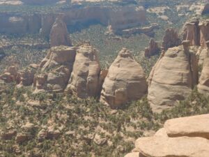
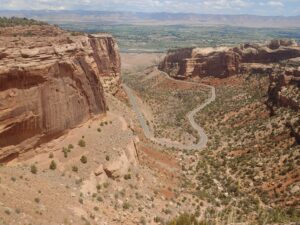
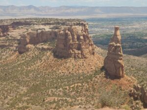
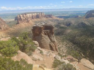
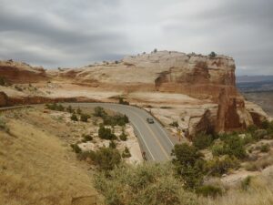
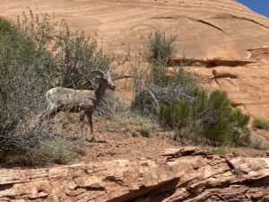
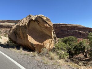
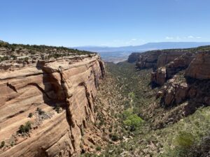
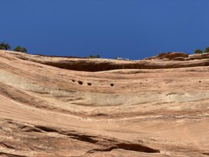
Monument Road takes you into the park and our first stop was at Devil’s Kitchen Picnic area for dog walk before we began our scenic drive on Rimrock Road. The 23 miles provides 19 scenic overlooks. The beauty of this park is that the route is along the top of the canyon walls, which provided amazing vistas and views of the monoliths rising from the canyon floor. We decided we were going to take this scenic route in both directions so that we could maximize our park visit. We were fortunate that the visitor center was open, they required masks to enter and limited the number of guests in the building. Highlights of the visit included stops at the following.
- Artist Point
- Cold Shivers Point Overlook
- Red Canyon Overlook
- Ute Canyon View
- Fallen Rock Overlook
- Coke Ovens Overlook
- Grand View
- Independence Monument View
- Monument Canyon View
- Fruita Canyon View
- Balanced Rock View
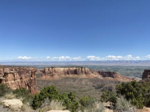
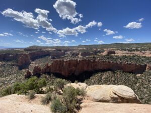
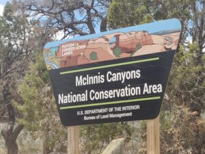
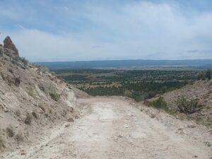
On our return route, we detoured into the McInnis Canyons National Conservation Area on N 16 ½ Road, then Black Ridge Rd to Radio Tower Rd which ended abruptly out in the boonies. Our return to civilization required us to do an abrupt about face to get back to N 16 ½ Road south to Glade Park and return to the National Park via D S Road. The remainder of the route provided views that were not available earlier in the day, so it was a wise decision to see this park in both directions.
Utah’s Big Five National Parks are world renowned. Deb and I visited all them in 2018. With the anticipation of crowds at Zion and Bryce Canyon and the uncertainty of pandemic constraints, we decided our one and only Utah NP visit was going to be Capitol Reef!
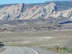
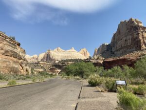
A leisurely drive-up US Hwy 50 to I-70 at Grand Junction, westward bound to State Hwy 24, past Goblin Valley State Park, Kathline Rock, Hanksville, Caineville, through Capitol Reef NP along the Fremont River, past the Grand Wash, Capitol Dome, the old Fruita Schoolhouse and the Park Visitor Center to Wonderland RV Park in Torrey, Utah.
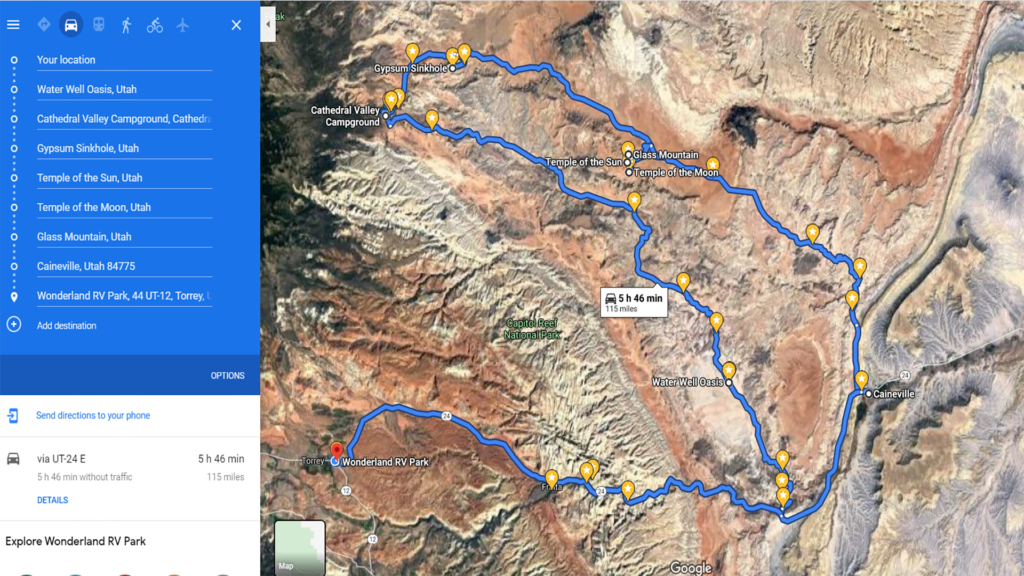
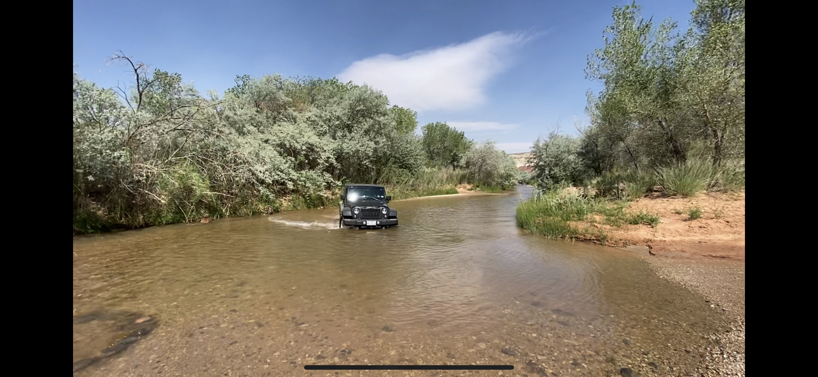
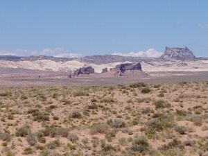
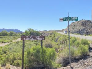
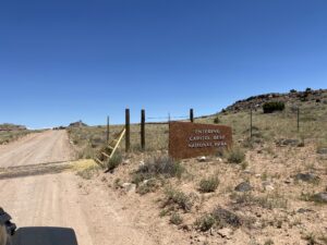
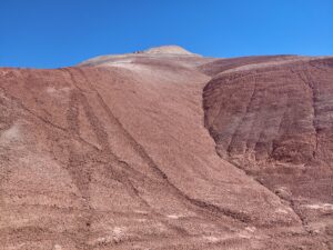
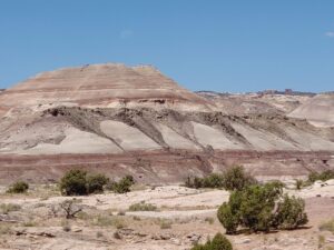
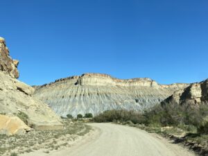
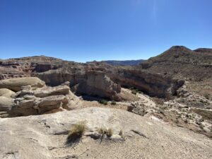
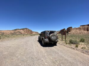
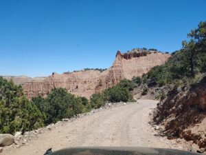
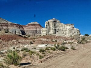
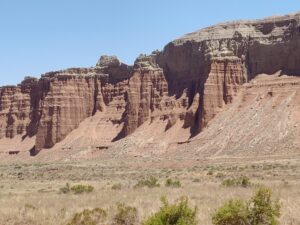
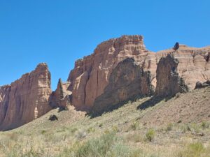
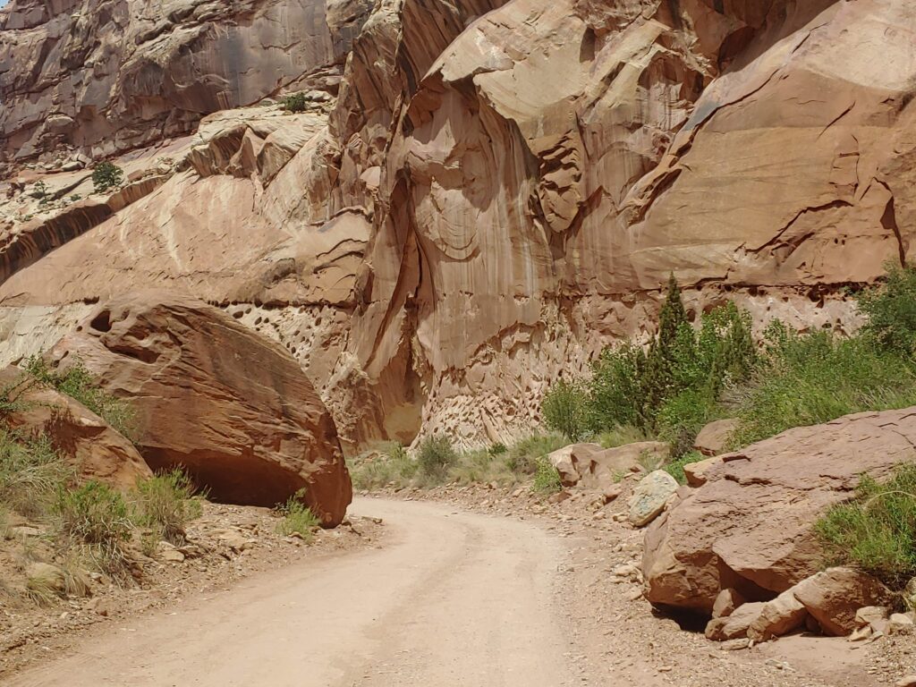
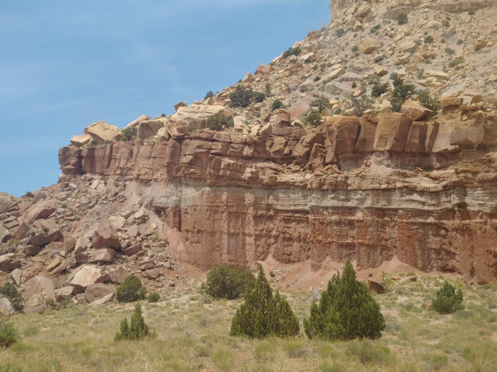
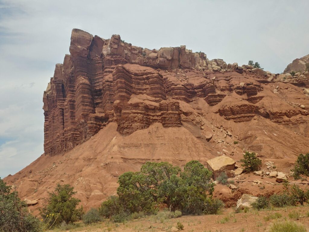
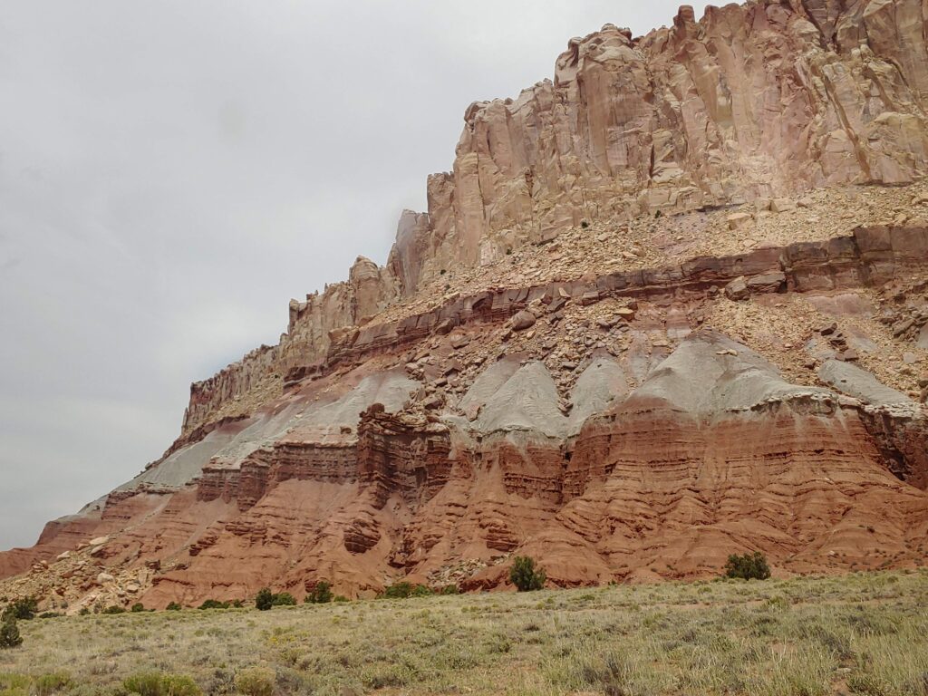
As you can expect, one of the reasons we love this place is the off-road opportunities. The highlight of the area is the rugged adventure to Cathedral Valley. Even though we were return visitors, the chance to ford the Fremont River, is ALWAYS a treat. Typically, the water is no more than a foot deep, but high clearance vehicles are recommended. Although the road is two way, it’s strongly encouraged that you ford the river first to ensure that you do not have to go back the 57 miles you just came from! Quickly, you will discover the diversity of the geological landscape.
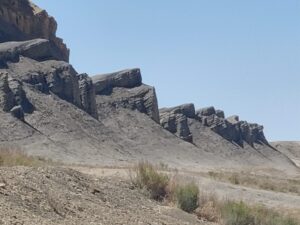
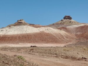
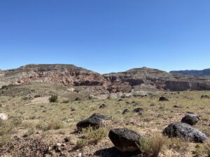
The Salt Wash — the unique volcanic clay-based Bentonite Hills, then in the middle of the desert is the Water Well Oasis, another 8 miles you will reach the Lower Cathedral Valley Overlook.
Hartnett Road continues to two spectacular vantage points, the Upper South Desert Overlook, then the Upper Cathedral Valley Overlook and past the campground before the road tumbles with several switchbacks before you reach the Cathedral Valley floor.

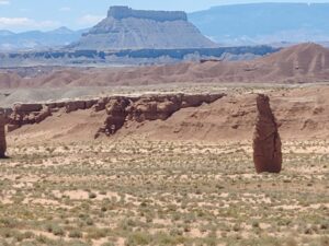
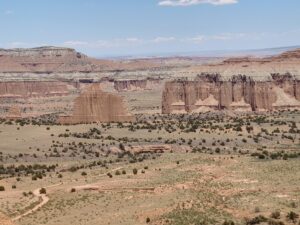
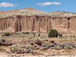
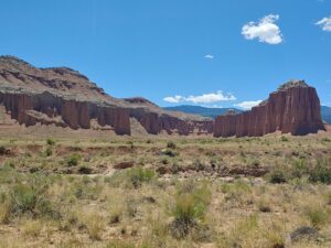
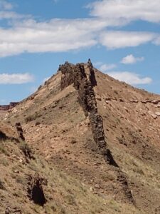
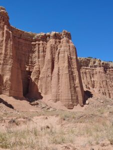
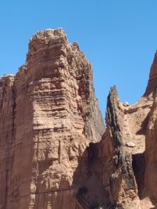
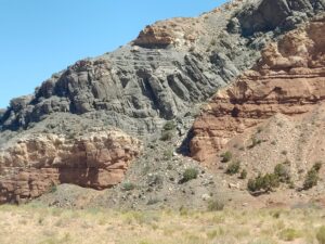
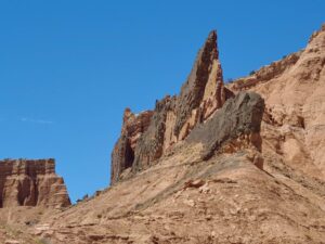
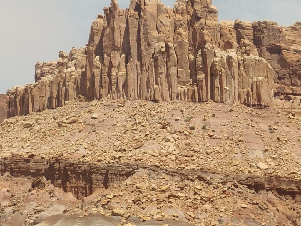
With nearly 28 miles in the rear-view mirror, Cathedral Valley Road passes thru the monoliths on both sides of the road. Gypsum Sinkhole falls below the jagged peaks and the geological “dikes” were visible… like a dinosaur backbone in some places and a distinct color contrast to the mountain ridges above…. The dikes and sills seen here formed as recently as 3-6 million years ago. They are the result of molten lava flowing into vertical joints (dikes) or between horizontal layers of sedimentary rocks (sills), then solidifying. Deb and I have continued to see this geological formation in many other places.
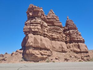
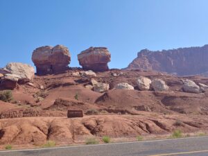
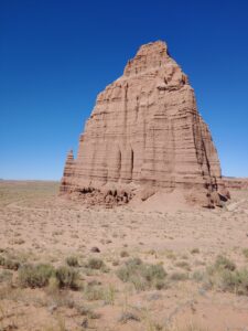
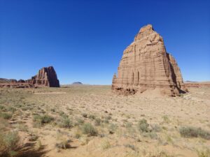
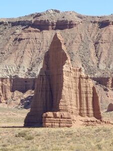
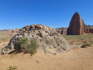
The last significant highlights are the Temples of the Sun & Moon and the Glass Mountain. The Temples are called “monoliths”, the giant rocks protrude from the earth, and definitely Mother Nature’s piece of art. A very popular spot for photography that only about 10% of park visitors access due to its remote location
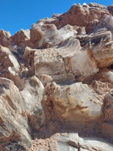
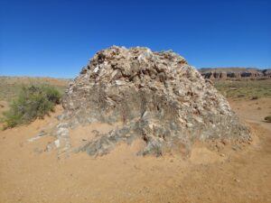
Glass Mountain is a geologic feature in Lower Cathedral Valley consisting of large selenite (gypsum) crystals forming a mound or plug 15 feet high. With only 15 miles to go, the valley disappearing in the background, we closed in on Caineville and completed the Cathedral Valley Loop.
While we were in the Torrey area we had a few days of bad smoke that had drifted up from the North Rim area of the Grand Canyon, so fortunate that we did our off-roading when we did. Near the Capitol Reef Visitor Center in Fruita. The Capitol Reef Natural History Association, in cooperation with the National Park Service, has renovated and refurnished the Gifford farmhouse as a cultural demonstration site to interpret the early Mormon settlement of the Fruita valley. It is famous for the fruit pies made from the fruits grown along the Fremont river.
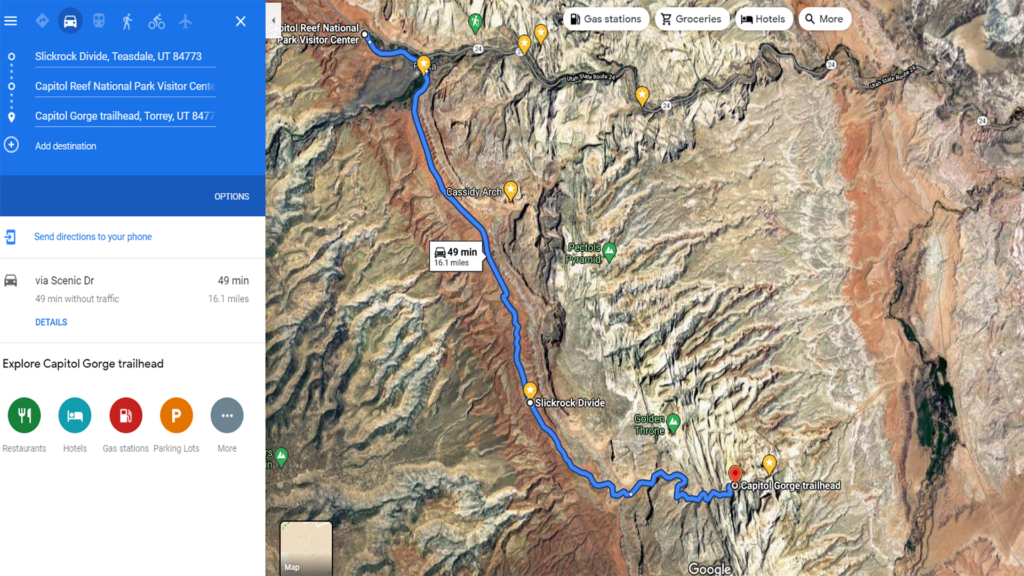
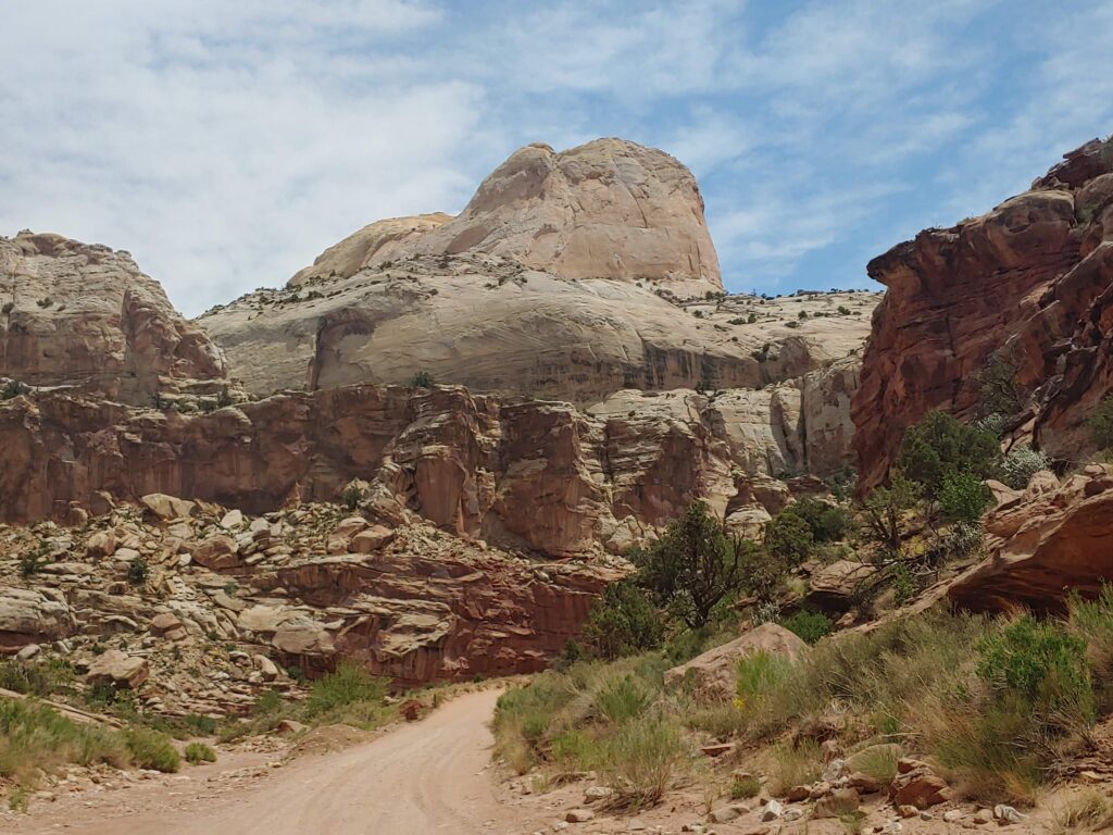
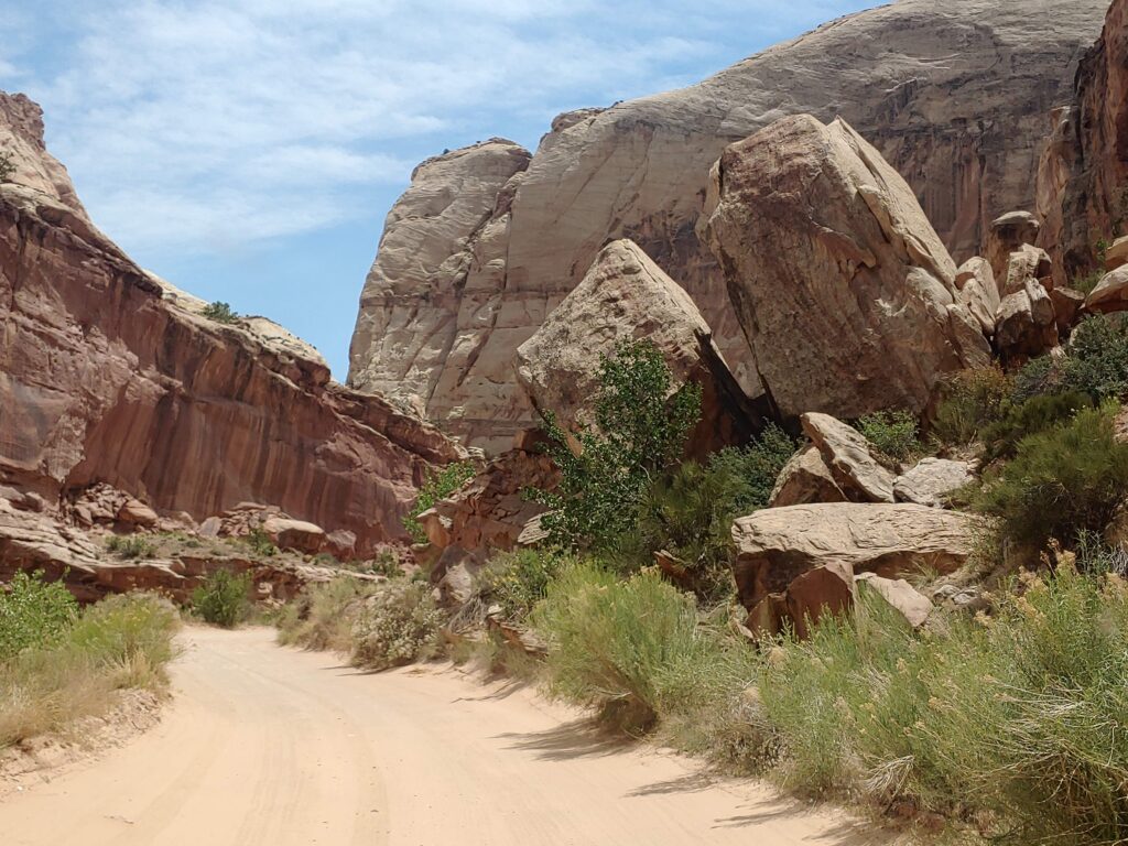
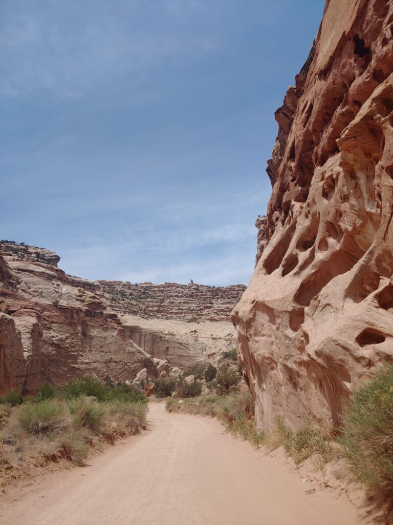
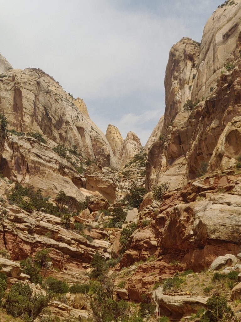
Past the homestead, we took the eight-mile scenic drive down into Capitol Gorge which displayed steep and colorful canyon walls. The majority of the road was in a dry wash. NOT a place to be in inclement weather.
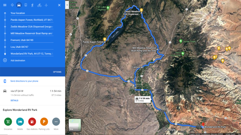
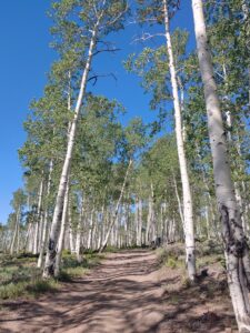
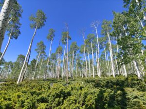
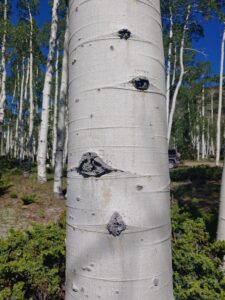
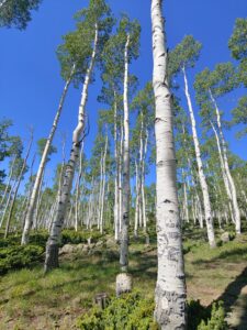
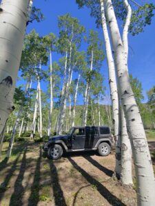
The last adventure this year in Utah was a day trip to seek out the Pando Aspen Grove / Forest in the Fishlake National Forest. Less than forty miles from our campsite in Torrey, we were off to find some greenery relief from the red rock we had been seeing. A Pando is also known as the trembling giant, a clonal colony of an individual male quaking aspen determined to be a single living organism by identical genetic markers and assumed to have one massive underground root system. This unique clone covers over 140 acres and 80,000 trees all sharing the same root system.
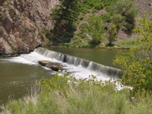
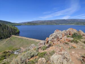
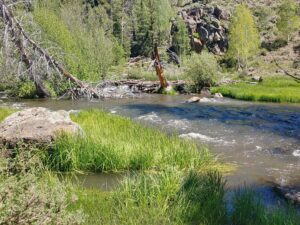
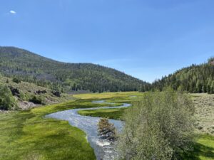
We continued our drive around Fish Lake seeing that there were several campgrounds that might require further investigation. We discovered a dam on the Fremont River which created the Johnson Reservoir Recreation Site…more camping options to add to our bucket list. FR 036 followed the river through the woods and valleys , past Spatter Drip Canyon and eventually into the Mill Meadow Reservoir. Here, the dam redirects the majority of the water into the Fremont Valley below for agricultural purposes.
Our Colorado / Utah adventure is in the books…the mountains are calling, and we must go….













Leave a Reply