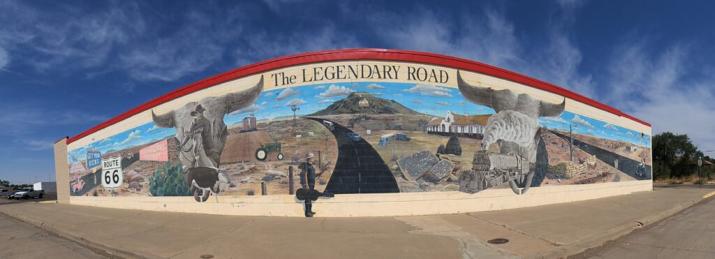
Hi everyone, welcome back to Part II of our summer travels in New Mexico. This chapter will be centric to our adventures in and around the famous Route 66 in Eastern New Mexico and a brief stay in Amarillo Texas. We traveled on snippets of Route 66 when we were at Gallup and Grants in western New Mexico. Albuquerque’s Central Avenue still has remnants of the glory days but unfortunately what’s left doesn’t compare to the revitalized signage and businesses in Sant Rosa, Tucumcari and Amarillo, Texas.
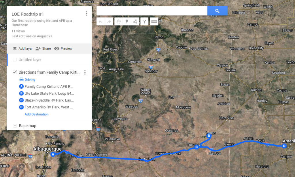
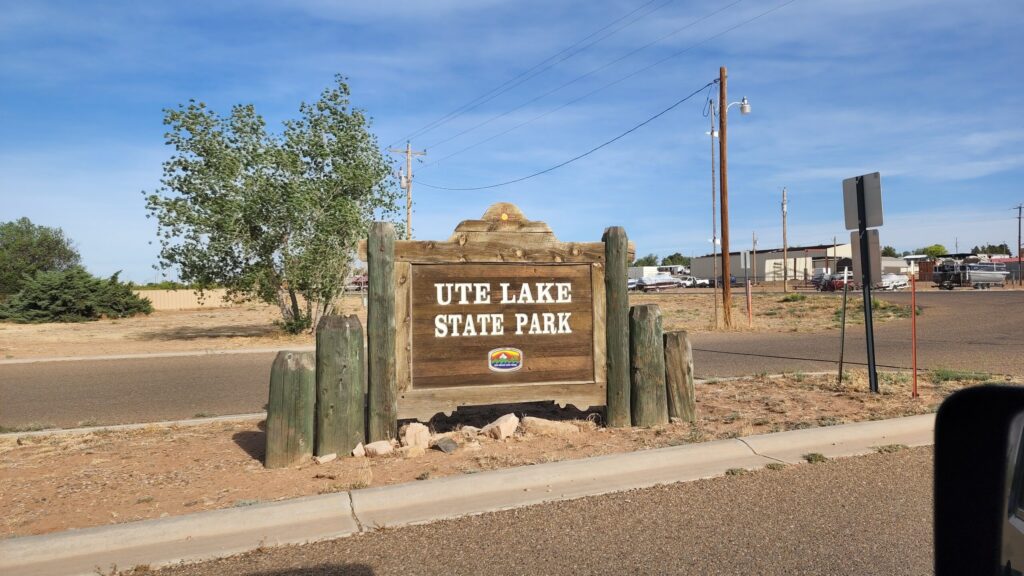
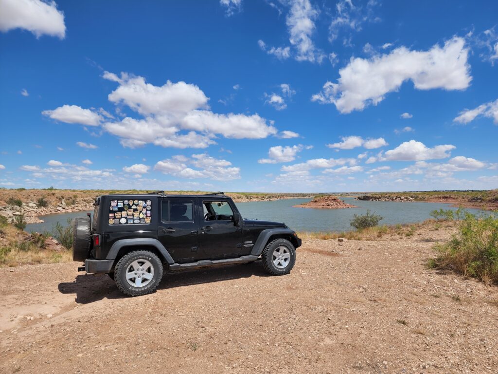
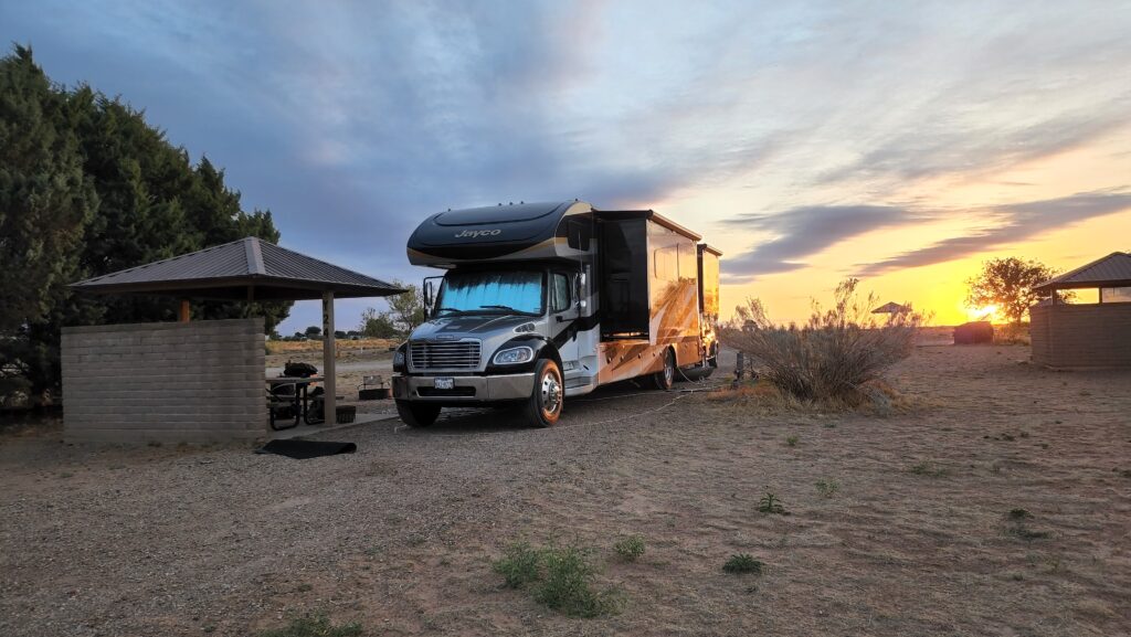
We spent a week at Ute Lake State Park. The park is outside of Logan which was only 25 miles northeast of Tucumcari. Rural yet close enough to civilization. We expected some quality time on the lake with our kayaks and even do a little fishing. Mother nature had other ideas. We had blues skies with scattered clouds but the wind gusts above 30 MPH left us high and dry. Life on the road ALWAYS means have a plan B and at times, even a plan C or D. Deb and I have always looked for opportunities to explore and the back roads of Quay County did not disappoint.
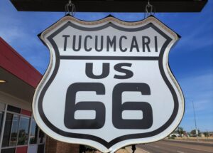
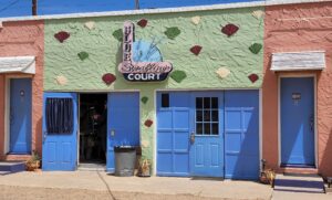
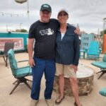
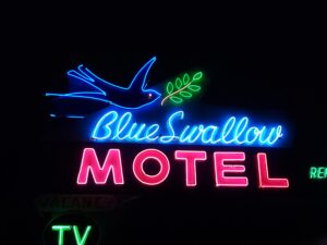
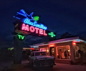
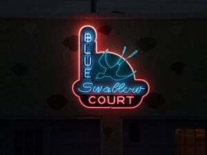
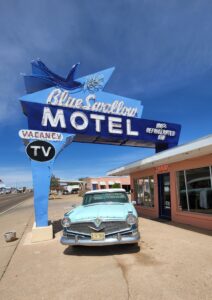
Of course, we were quickly lured into Tucumcari. After a brief stop at the Chamber of Commerce Visitor Center, we made our first tour of Tucumcari Avenue or US Route 66. Any trip to Tucumcari without a visit to the Blue Swallow Motel is a character flaw in your trip planning capabilities. Robert and Dawn Federico are the current owners and share their enthusiasm and genuine interest in revitalizing the neon on Route 66. We decided a nighttime visit was a must to see the Blue Swallow Motel lit up.
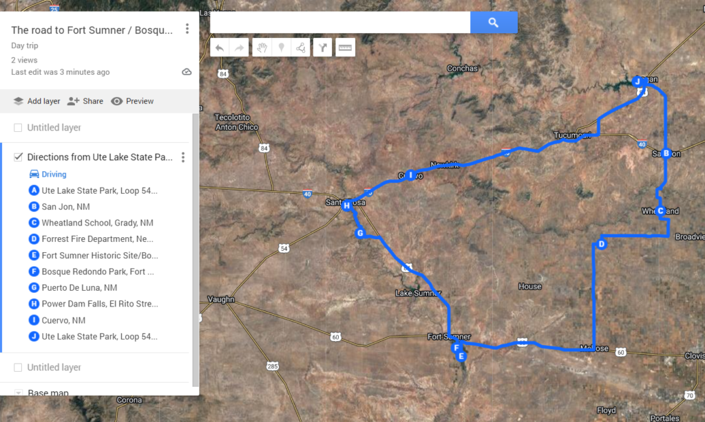
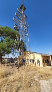
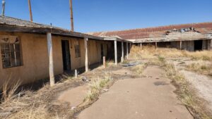
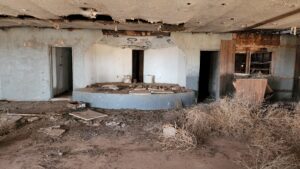
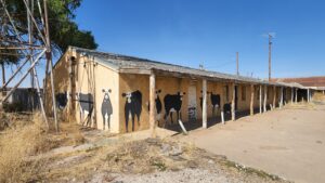
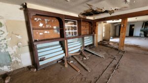
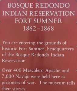
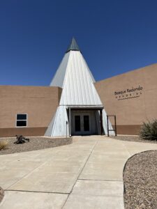
Over the span of 7 days, we did a day trip down to Fort Sumner Historic Site / Bosque Redondo Memorial, we discovered San Jon, Wheatland, Newkirk, Cuervo, and Mosquero. We found abandoned country schools, homesteads, a historic county bar called Edd’s Place. I must expand our experiences at Edd’s.
“Edd’s Bar” was a popular place because neighboring Curry County was a dry county. Its heyday was in the late 50s, early 60s. Bar, motel, pool room, dance hall, stage, even a horse racetrack. With the help of modern technology, social media, the “locals” shared their stories where names were not mentioned, tales were spun, and fond memories of a cold beer and a poker game were revealed.
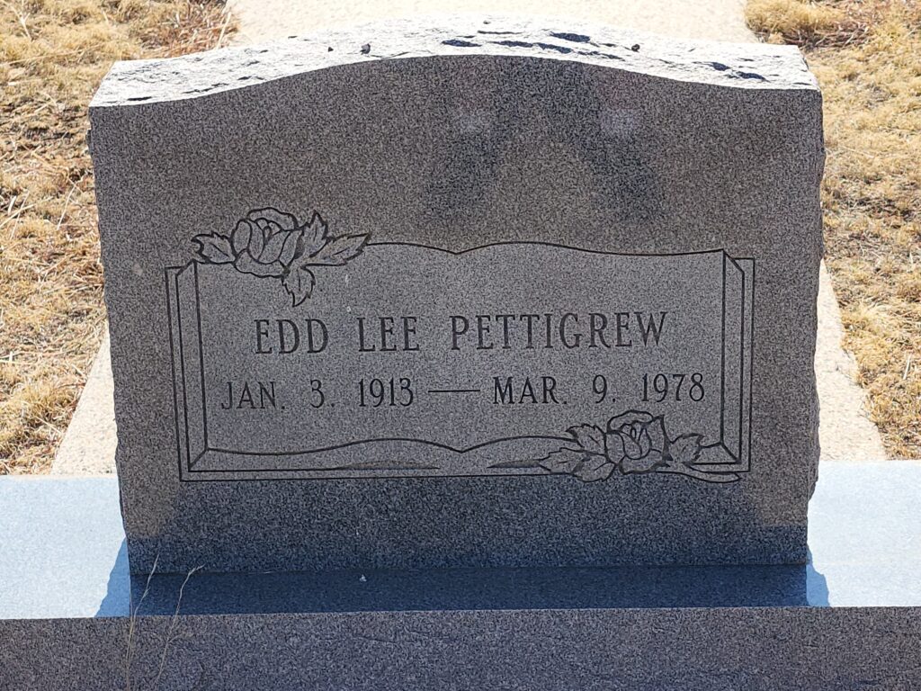
Deb and I chatted with folks that had visited as kids, relatives that had their first date there, even connected with distant relatives of the owner so Deb & I could find the gravesite of Edd Lee Pettigrew in the Grady Cemetery. Quite a fun experience, playing history detective in this remote northeast county of New Mexico.
In our last blog we shared our experiences at Canyon de Chelly and the negative impact that Kit Carson left on how he rounded up the Diné (Navajo) and Ndé (Mescalero Apache), Carson directed the destruction of their property and organized the Long Walk to the Bosque Redondo reservation, already occupied by Mescalero Apache. Follow the links for detailed information on the Long Walk and the Bosque Redondo. Sadly, not how the history books taught us about “How the West was Won”.
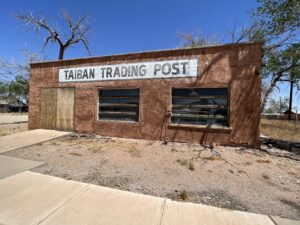
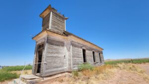
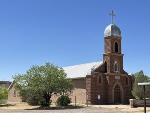
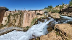
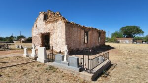
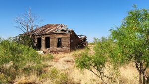
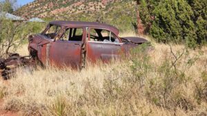
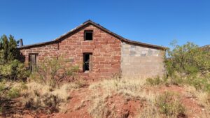
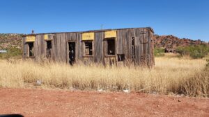
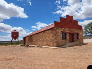
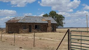
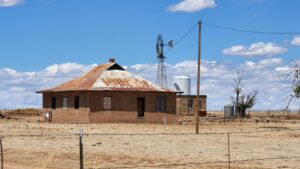
Other places of interest along the route included the nearby Billy the Kid Gravesite & Museum, Taiban Chapel, the Guadalupe County Courthouse, Our Lady of Refuge Church (Puerto de Luna), Power Dam falls, Santa Rosa de Lima Chapel & Cemetery, and a few Route 66 remnants in Santa Rosa. Many long, lonely dirt roads revealed homesteads, courthouses, and churches that time has taken out its toll.
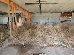
The most significant “ghost town” we visited was our day’s last stop at Cuervo.. Plenty of stories available on the demise of Cuervo. The progress of Interstate 40 literally cut this town in half. Here, the charm of Route 66 was no longer present.
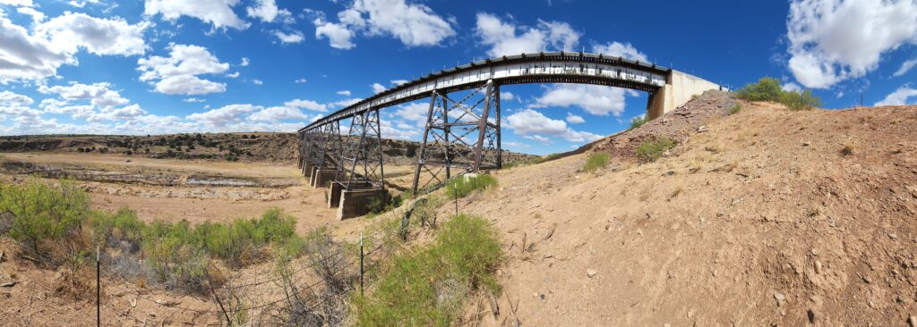
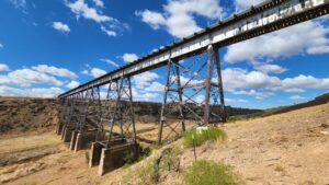
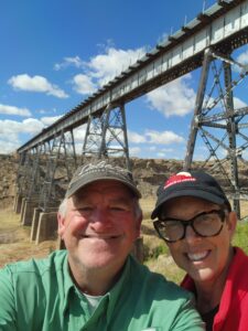
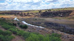
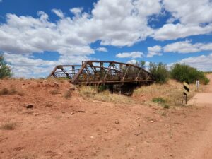
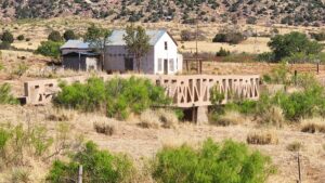
Outside of Logan is one helluva train trestle, the Canadian River Railroad Bridge. Took us a couple of tries to find a road to get us “up close & personal”, but then if it was easy then there would already be hundreds of pictures on google maps and there aren’t.
They say it’s a small world, and we proved it. Deb has a long time Instagram film friend that was visiting the western US from London, England. He was making his way back to Dallas from the Grand Canyon and Monument Valley, he reached out to find our current location at the time.
Within a matter of minutes we arranged to rendezvous for dinner and some quality neon signage film shooting. We then spent the next day adventuring, sharing some abandoned building locations and burning up several rolls of film. A good time was had by all!
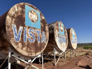
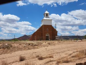
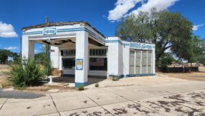
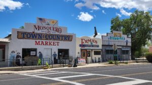
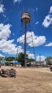
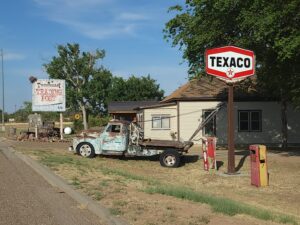
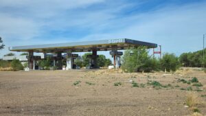
Our last day trip from Ute Lake was a venture out into the vastness of Northeastern New Mexico. The Church of the Immaculate Conception Historic Site was a beautiful sight to behold out in the middle of nowhere and just up the road, Mosquero was a small community that had much to share. A vintage gas station, a city water tower being refurbished, the local main street. Simple, quaint but so-o-o remote. State roads 39, 419 and 104 were paved two lane roads that supplied a scenic route across the countryside. Without small communities to use as landmarks, we resorted to using cemeteries and churches to road map our way along to Conchas Lake State Park, then skipped through Tucumcari and back to Ute Lake.
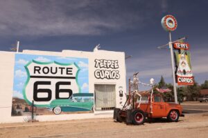
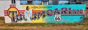
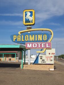
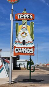
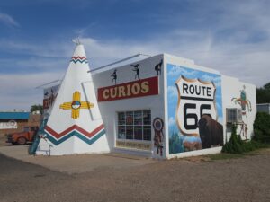
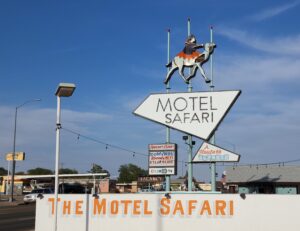
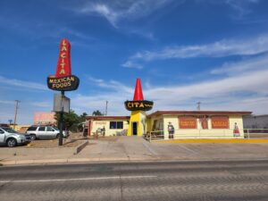
Visiting Tucumcari is like turning back the pages of time. Today, Old U.S. Route 66 runs through the heart of Tucumcari via Route 66 Boulevard. A large number of the vintage motels and restaurants built in the 1930s, 1940s, and 1950s are still in business. Opening the interstate and bypassing downtown severely impacted Tucumcari and several other communities along Route 66. However, the neon still shines bright at The Blue Swallow Motel, Teepee Curio Shop, Palomino Motel, Del’s Restaurant, Motel Safari and Lacita Mexican restaurant.
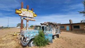
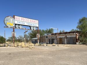
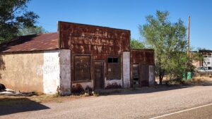
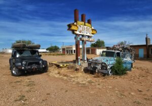
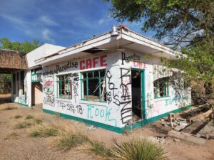
Others along the main drag have become empty, rundown abandoned buildings still clinging to their glorious past while others a vacant lot is all that remains.
Deb and I visited the Tucumcari History Museum and Tucumcari Railroad Museum, both were quite interesting. The ladies that managed these establishments were friendly and very knowledgeable about the community. On separate days, we poked around to discover the area’s past which piqued our curiosity for more exploration opportunities in Quay County.
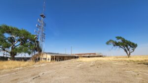
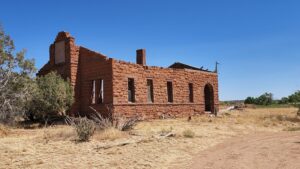
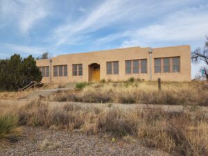
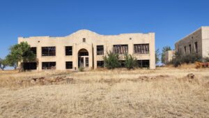
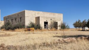
It didn’t take long before we found three Country/County schools which were abandoned and in different states of decay.
Quay County School is located about 17 miles south of Tucumcari on SR 209. Building was still intact and had vintage playground equipment still out front.
Forrest Country School is a little farther down SR 209 & SR 210. Abandoned, roofless and posted, Deb and I were only able to get photos from the street after we were greeted by locals that weren’t amused by our interest in the old school.
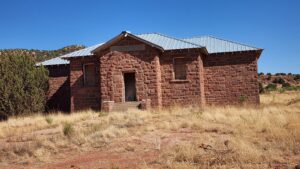
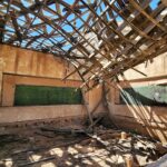
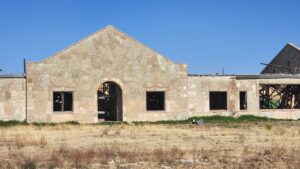
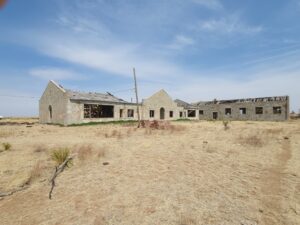
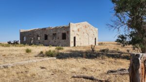
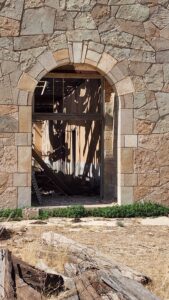
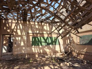
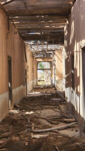
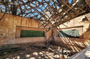
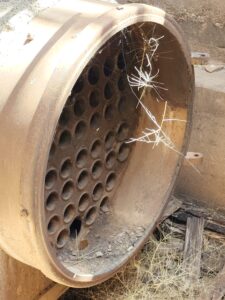
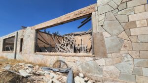
The gem was Wheatland School. Built in the 30s, made of rock & stone from a nearby quarry, its skeletal remains were breathtaking. Floorless classrooms, roofless gymnasium, remnants of a boiler-room fire yet its walls unshaken by time. These kind of discoveries make our backroad trips so scintillating.
We thought we were going to spend a few days at Conchas Lake State Park which is about 35 miles northwest of Tucumcari on SR104. We made reservations and had a beautiful site picked out overlooking the lake. But, while making a stop at the local vet’s office to get some meds for one of our dogs, Deb overheard a conversation that there was no fresh water available at the state park! We weren’t willing to go waterless for 2-3 days. We have the ability when prepared and we weren’t. Fortunately, we were able to cancel our reservation without penalty and we extended our stay in town. (oh darn)
We had to see for ourselves how remote Clovis, New Mexico was. We were overdue for a thrift store – antique mall escapade and we heard that Clovis was a gold mine. Deb found some 35mm cameras that she cleaned up, tested, and listed in her ETSY store, did a quick drive by the Train depot, and enjoyed the leisure drive back to Tucumcari.
Our two-week exploration of eastern New Mexico was complete, it only seemed natural to take it one step further and continue to Amarillo to see what Route 66 surprises Texas had to offer.
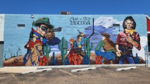
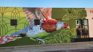
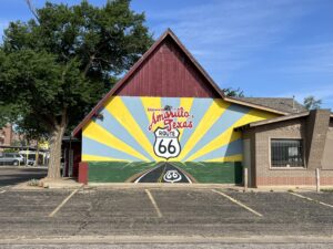
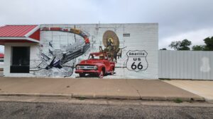
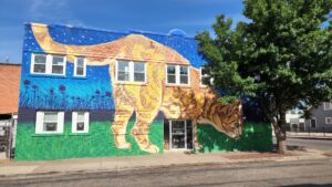
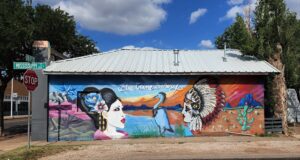
Amarillo was not the little “cowpoke” town we thought it would be. The purpose of extending our trip into Texas was to see more of Route 66. Although it didn’t have the neon motels like Tucumcari, the historic Amarillo Route 66 had an several antique malls, abundant Street art, and the Texas Route 66 Visitor Center.
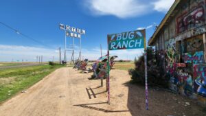
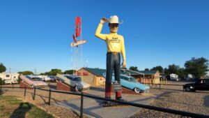
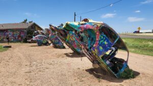
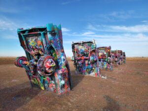
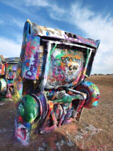
The city’s outskirts provided iconic Cadillac Ranch, VW Slug Bug Ranch, and the 2nd Amendment Cowboy. We overcame the urge to go visit the Big Texan Steak Ranch & Brewery. I knew that finishing the 72 Ounce steak was unachievable, so we opted out!
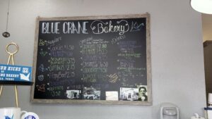
Deb and I discovered Blue Crane Bakery. Owned and operated by Chris Griffin and his family, they daily produce quality, fresh Keto, Gluten-free, sugar-free, and Vegan baked goods with all natural and organic ingredients. Of course, they have lunch items and home-made desserts as well. It was a daily stop while we were in town.
We ventured into downtown, attracted by vibrant street art, in search of an old steam engine and the Santa Fe station.
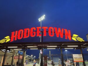
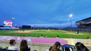
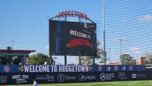
Much to our surprise we found Hodgetown Stadium. Home of the minor league Double A, Sod Poodles, an Arizona Diamondback affiliate. By the way, a Sod Poodle is a prairie dog! We found out they were going to be home while we were in town and quickly bought tickets a couple of rows behind the home team dugout. What a cool experience under the lights in Amarillo.
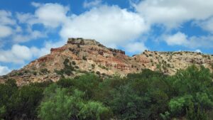
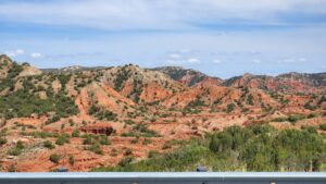
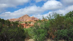
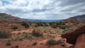
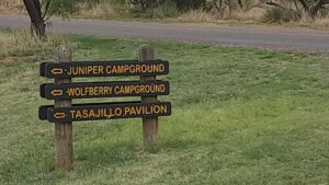
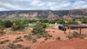
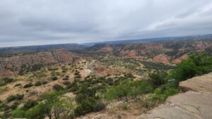
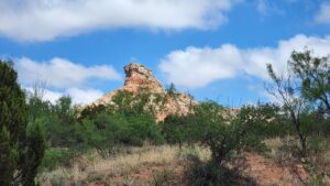
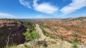
The landscape around Amarillo was pretty much like the 100 or so miles we drove from Tucumcari to get there. Flat prairie land with grazing pastures on both sides of the Interstate. 28 Miles southeast of Amarillo, the flat prairie disappears, and you are greeted by Palo Duro Canyon. The second largest canyon in the country lies right here in the heart of the Texas Panhandle. Only Arizona’s Grand Canyon is larger! 120 miles long, an average width of 6 miles. Its depth is around 820 ft, but in places, it increases to 1,000 ft. The 16-mile scenic loop reveals the canyon’s unique geology and beauty. Notable canyon formations include caves, hoodoos and the steep vertical walls which are visible along the drive with picnic and campgrounds scattered on the canyon floor.
Our Amarillo bucketlist was nearly complete, Deb and I did find some other things to do in here and could easily spend another week or so exploring the Texas Panhandle. It’s time to wrap up this springtime segment of our “Land of Enchantment” adventure and get back to Albuquerque.
Please enjoy the additional information about our travels below;
Amarillo Bucketlist – http://alwaysondafly.com/?page_id=11581
Tucumcari Bucketlist – http://alwaysondafly.com/?page_id=11018
Route 66 – New Mexico https://www.route66roadtrip.com/route-66-new-mexico-road-trip.htm
Amarillo Visitor Guide https://2021guide.visitamarillo.com/
Bosque Redondo Memorial at Fort Sumner Historic Site https://nmhistoricsites.org/bosque-redondo/history
Recent additions to our Flickr Gallery.
Amarillo – https://flic.kr/s/aHBqjAszDi
Tucumcari – https://flic.kr/s/aHBqjAsdUN
New Mexico Street Art – https://flic.kr/s/aHBqjAs9fK
Saguaro National Park – https://flic.kr/s/aHBqjAspgv
GOOGLE MAPS BONUS – New Mexico Churches & Missions https://www.google.com/maps/d/edit?mid=1WbLoKgI_YQZcWC7aqywTnLAPN-kub2Y&ll=34.716673776934755%2C-106.10581454999999&z=7.
















Leave a Reply